New online map braids together Indigenous land, language, arts and culture
‘This is about the people who are doing the work for cultural survival,’ says project leader Cathi Charles Wherry.
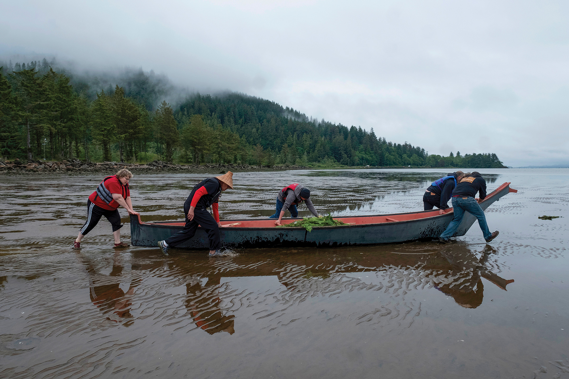
A new, interactive map weaves together information on Indigenous peoples’ languages, arts, culture, and connection to place across the lands now referred to as British Columbia.
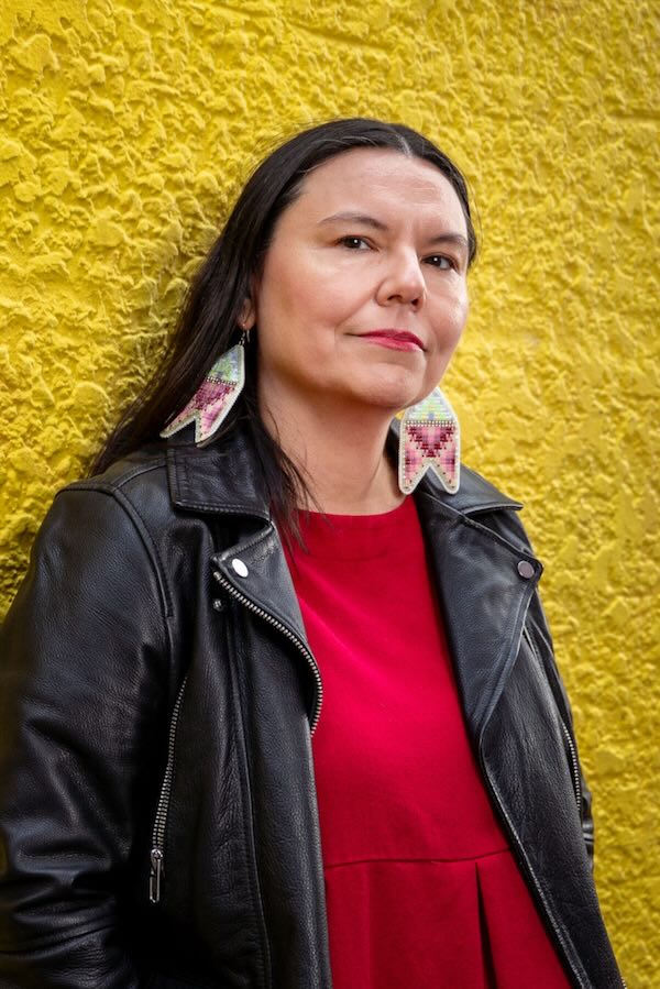
“We see a lot of stories about our struggles,” says Cathi Charles Wherry, a special advisor for the project, led by the First Peoples’ Cultural Council. “This is about the people who are doing the work for cultural survival.”
The First Peoples’ Map of BC was developed and led by community experts who are working in Indigenous language revitalization and “artistic and cultural survival,” according to an FPCC press release.
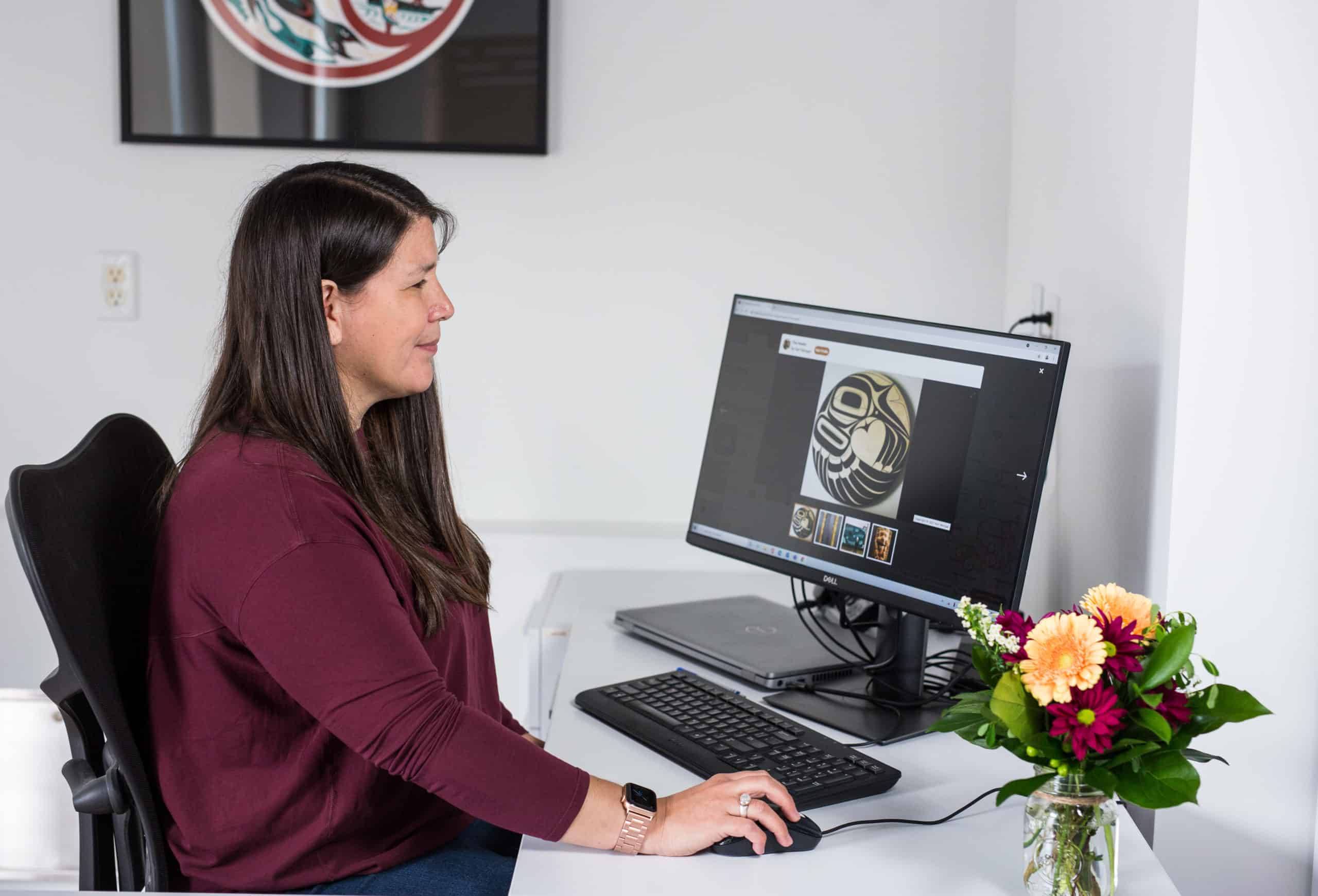
Wherry, who was the arts manager of the FPCC for 23 years, says that the idea emerged when the FPCC was putting together a map on Indigenous art in B.C. The new map builds on the council’s previous work, including a language map created in 2008 and an arts map created in 2012. Now, all that information and more is together in one place.
“You should be able to explore this information in a context where it’s intertwined, like it is in real life. It is very unique and reflects more of an Indigenous context,” says Wherry. All the content is contributed and owned by Indigenous people, she adds.
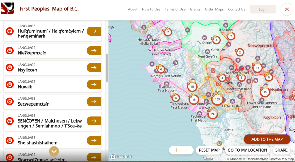
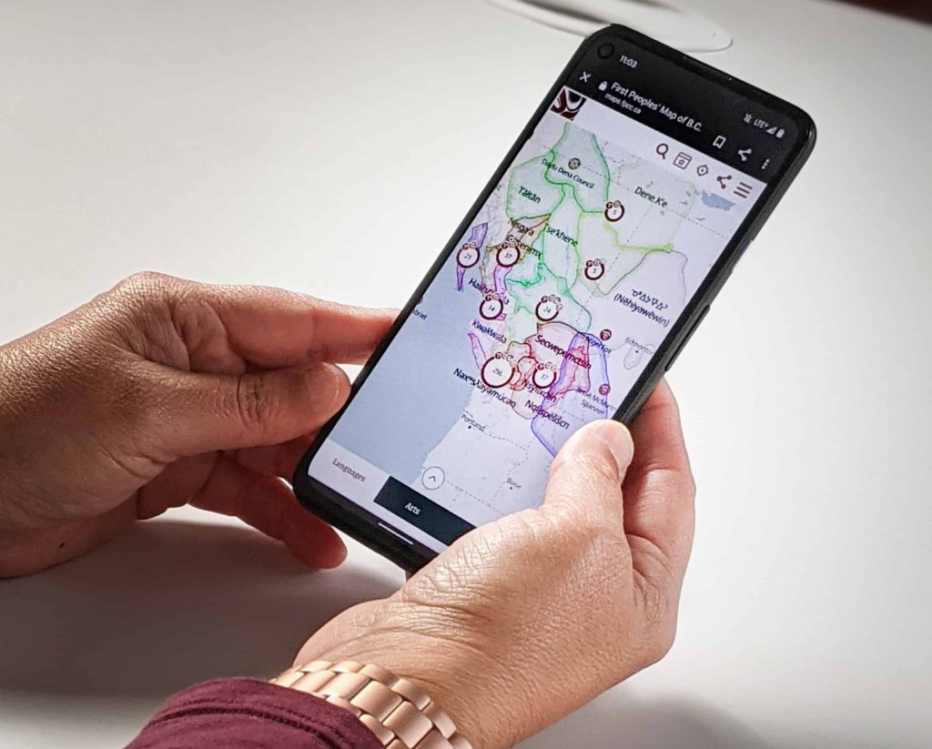
The map includes information on 34 Indigenous languages spoken across B.C., including greetings, place names and pronunciation guides.
“They can see the name of the community. They can hear the name of the community pronounced correctly. They can see what the name of the language is in that area, and even a lot of the language entries have pronunciation.”
The interactive map also includes public art installations, landmarks and cultural centres.
“Our hope is that this map will help non-Indigenous people to better appreciate Indigenous perspectives as one small step towards reconciliation,” says Karen Aird, the acting CEO of the FPCC. “By combining all of this rich information together in one place, the map reflects an Indigenous perspective, by braiding important cultural elements together with the land.”
The FPCC works to assist First Nations in B.C in revitalizing their respective languages, arts and cultures through providing funding, grants, and resources.
Author
We live in a media ecosystem that thrives on misinformation. Big Tech and AI companies are consuming the work of real human beings and Canadian news has been banned on Facebook and Instagram.
And yet, I have hope for journalism because of the work we’re doing at IndigiNews.
At IndigiNews, we embody tâpwêwin — the Cree value of integrity and responsibility in truth-telling. We are committed to our independent, Indigenous-led newsroom rooted in community, accountability, and relationality. We believe storytelling is a sacred fire that connects our pasts, presents, and futures through the storytellers in our Storytelling Lodge. IndigiNews creates space for Indigenous journalists, storytellers, Knowledge Keepers, and communities to gather, learn, and share stories that matter.
As a registered charity, we are building a fire that allows our work not just to ignite but to thrive. Rather than relying on advertising or corporate acquisition, IndigiNews is sustained by people like you who believe Indigenous stories are important for the future of our communities.
Your support is making a real difference.
Our community of supporters, our Firekeepers, make it possible to grow our newsroom, publish award-winning journalism, train emerging Indigenous journalists through initiatives like the ReFocus Photojournalism Fellowship, and publish trustworthy stories that serve our communities across the country. Every story we publish helps fill in gaps left by mainstream media and ensures Indigenous perspectives are represented with care, accuracy and respect.
But there is still more work to do.
As the media landscape becomes more and more uncertain, community support is as necessary and essential as it’s ever been. Every new Firekeeper helps protect the independence of our newsroom and strengthens journalism that is accountable to our many and varied communities over corporations.
That’s why we’re inviting you to become a Firekeeper.
Firekeepers tend to and protect the sacred fire. Your monthly contributions directly support IndigiNews’s Storytelling Lodge, helps sustain our independent, Indigenous-led newsroom, and ensures future generations of Indigenous storytellers have the resources they need to do the work.
As a registered Canadian charity, all eligible donations receive a charitable tax receipt.
If you believe Indigenous stories matter, if you value independent journalism, and if you want to help build a strong future for Indigenous media, we invite you to join our circle of Firekeepers today.
Together, we can keep the fire burning.
— Eden Fineday, Publisher, IndigiNews
Support us nowLatest Stories
-

‘Rhythm crafted for the human voice’: Poet kit-xgwélemc kennedy wins an Indigenous Voices Award
Member of St’uxwtéws Secwépemc Nation recognized in unpublished poetry category — following in his wordsmith mom’s footsteps
-

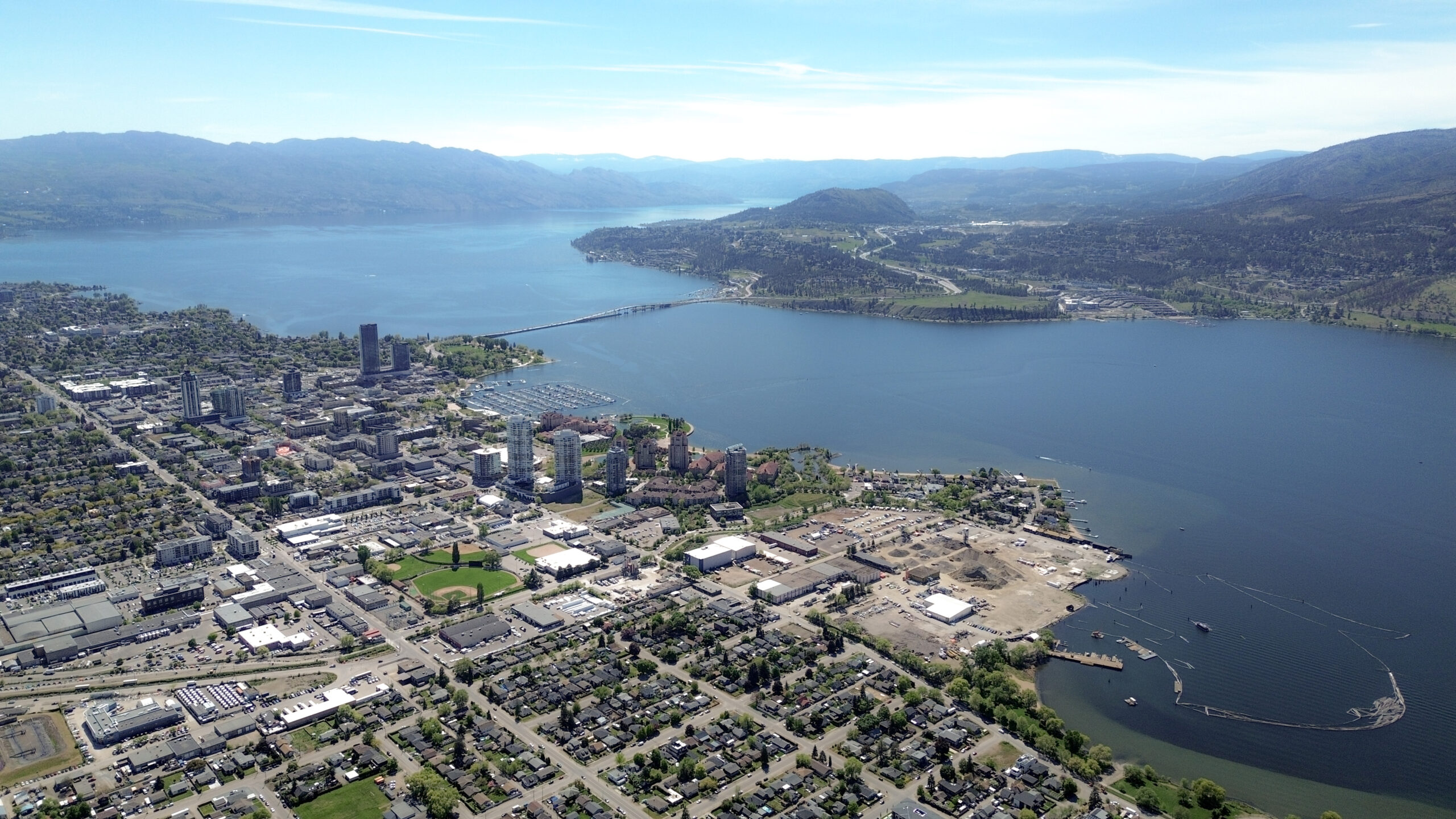
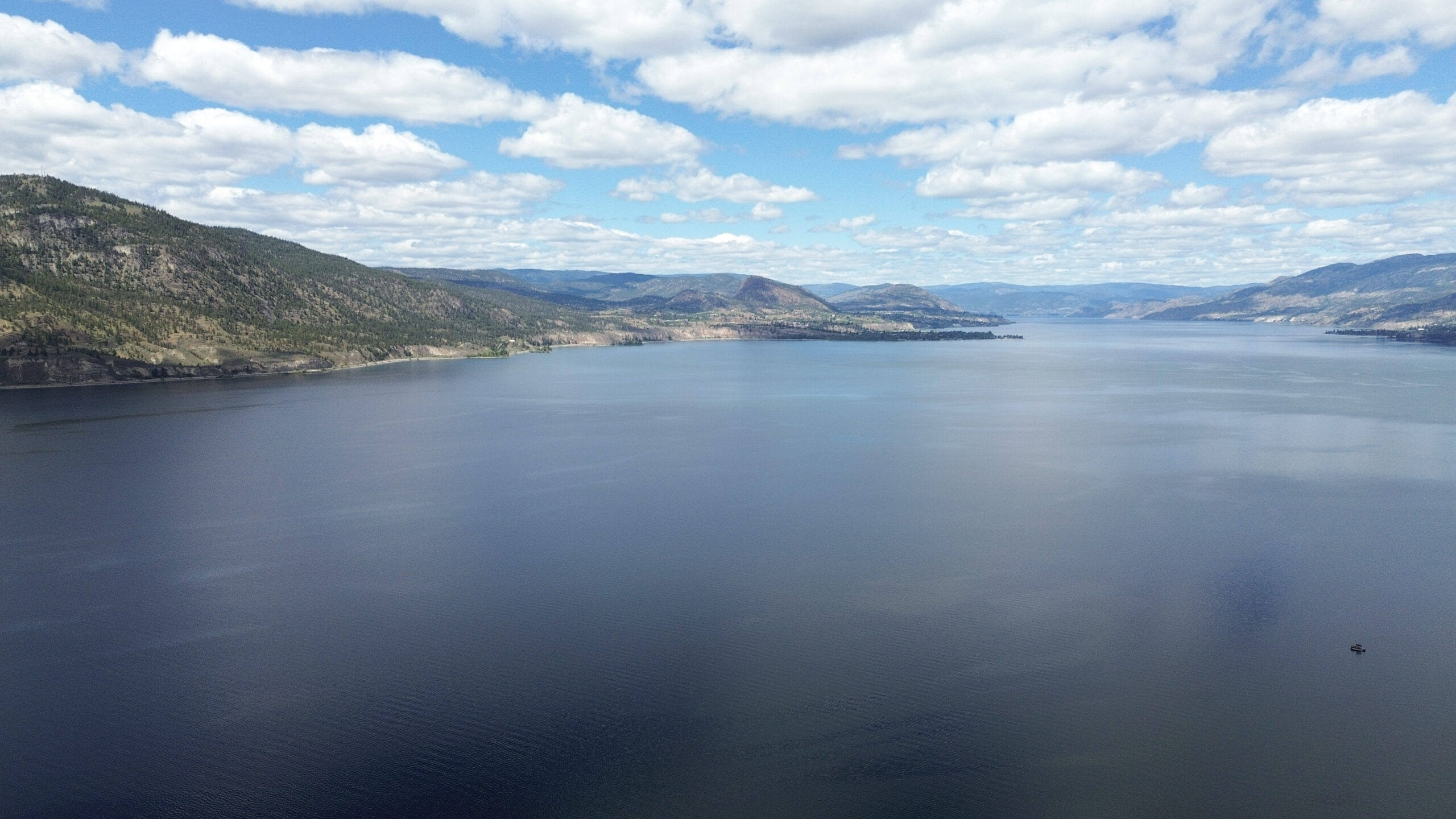
Low sockeye salmon numbers expected in the Okanagan as waters warm: ONA
syilx Nation members are being asked to ‘take only what they need’ as ‘difficult’ environmental conditions create challenges for the important fish